Related links
Geogaction
Spatialworlds website
Australian Geography Teachers' Association website
'Towards a National Geography Curriculum' project website
Humsteach blog
GeogSplace blog
Geographical thinking Scoop.it
Spatial literacy Scoop.it
History and geography Scoop.it
Spatial Education and technology Scoop.it
Follow Spatialworlds on Twitter
Email contact:
manning@chariot.net.au
Where am I?
Brisbane, Australia: S: 27º 29' E: 153º 08'
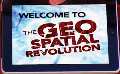
The technology we take for granted: it is a geospatial-revolution!!
It is amazing how quickly we absorb technology.
Technology which only a few years ago was met with ‘wow’ is just taken as ‘of
course you can!’ Can you imagine walking into a meeting only 20 years ago and
launching Google Earth (let alone the 3D capacity (Google Earth) on your
computer and then showing people their house using the Streetview function of
Google Maps? People would be incredulous and truly amazed by the technology.
Today, everyone uses the technology and consider it as a norm and expectation.
What has happened during this osmotic absorption of spatial technology is
indeed a geospatial evolution.
“Ask someone about ‘geography’ and their response would probably be that
it is an academic subject dealing with countries of the world and their
political and physical characteristics. However, over the past 15 to 20 years
there has been a massive revolution happening in both the private and public
sector, as geography has proved to be a fundamental part of the processes on
which these commercial and non-commercial organisations rely.” Roy Laming ESRI (UK) CEO
Over the past 10-15 years the capacity of spatial
systems has resulted in more than 80% of all data being attached to place
(coordinates to enable a geo-referenced location for the data). People expect to see a map, not just view
data! As a result it can be argued that
as a citizens capacity people should be
able to read, interpret and analysis maps. This skill has become even more
important than making a map – the technology can make the map! While this
revolution has been going on, geography has been declining in our schools! Why?
This is a question the spatial industry and geographers keep asking. In
essence we have a shortage in ‘spatially enabled people’ as functional citizens
and workers. We need more Spatialogists!
The so called geospatial revolution has
implications for the development of the spatial literacy of the students in our
schools. Some commentators refer to spatial literacy (or spatial thinking as
described in the US)
as the 4th R. The following YouTube videos from Pennsylvania
University in the US are a great
introduction to the nature and implications of the geospatial revolution for
our society and in turn our curriculum and schools.

No comments:
Post a Comment