
Related links to Spatialworlds
GeogSplace (a teaching blog for Year 12 geography)
Geogaction
Spatialworlds website
GeogSpace
Australian Geography Teachers' Association website
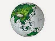
Where am I??
Adelaide, Australia: S: 34º 55' E: 138º 36'
Making sense of scale
The Australian Curriculum: Geography concept that seems to be the one causing most concerns for teachers is that of Scale. In previous Spatialworlds postings I explored the concept of scale and discussed the idea of looking at scale like a zoom tool. That is, as 21st Century citizens we zoom in and out of the spatial levels as we think about geographical events, phenomena and processes. One minute we may be thinking at the spatial level of global, then regional, then national and then local (not necessarily in that order). We repeatedly zoom in and out as we try to make sense of our world in geographical terms. This has not always been the case in the past, with citizens being much more locally focussed without access to travel, education and media that allow a broader perception of scale. It can be argued that there is a difference in scale perception between rural and city dwellers, less developed and more developed countries and between isolated and less isolated places. Certainly food for thought as we consider world views on a range of issues.
Basically the creation of a map at a particular scale is simply a snapshot of where we are thinking at the time - if thinking global we create a map of the world at the appropriate scale.
This posting gives a few ideas on practical ways to get the concept across to students (and teachers), delves into the terms small and large scale maps and discusses skill development in the Australian Curriculum: Geography.
Some hands-on ideas

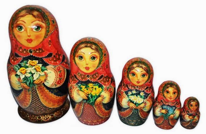
Another interesting way some teachers employ is the use of Babushka dolls to demonstrate the spatial levels of scale.


Large and small scale maps

A point of scale which often causes consternation is the question of what is a small scale map versus a large scale map? To help with this it is best to just say that the smallest scale map is the globe (RF of 1: 40 million) - shows a large all of the world at little detail. Every map of a lesser ratio in number is called a large scale map - shows a smaller area of the earth in greater detail i.e. a 1:100 000 map is a smaller scale map that a 1:50 000 map. Just think 'globe small, 'globe small'!! ... and then work backwards from there to the largest scale maps of the local area.
Scale in the skills strand of the Australian Curriculum: Geography
An understanding of scale is seen throughout the Inquiry and Skills strand of the Australian Curriculum: Geography. From representations of globes and maps in Foundation through to creating large and small scale maps conforming to cartographic conventions in Year 10 there is a progression of skills in relation to scale. The document below shows the progression of skills in the curriculum from F-10 - a well constructed learning progression involving the fundamental concept of scale.

No comments:
Post a Comment